|
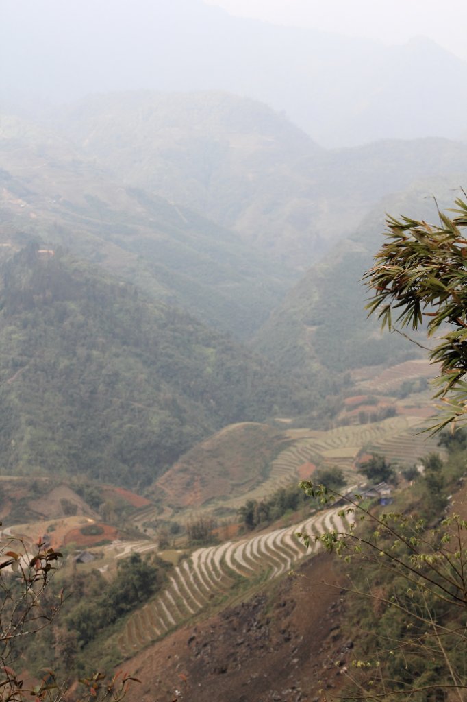 |
| Valley of the Suoi Ta Van River | |
| Latitude: N 22°19'20,24" | Longitude: E 103°51'16,93" | Altitude: 1402 metres | Location: Mong Hoa | City: Sa Pá | State/Province: Lao Cai | Country: Vietnam | Copyright: Ron Harkink | See map | |
| Total images: 32 | Help | |
|
|
|
| Valley of the Suoi Ta Van River | |
| Latitude: N 22°19'20,24" | Longitude: E 103°51'16,93" | Altitude: 1402 metres | Location: Mong Hoa | City: Sa Pá | State/Province: Lao Cai | Country: Vietnam | Copyright: Ron Harkink | See map | |
| Total images: 32 | Help | |